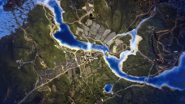
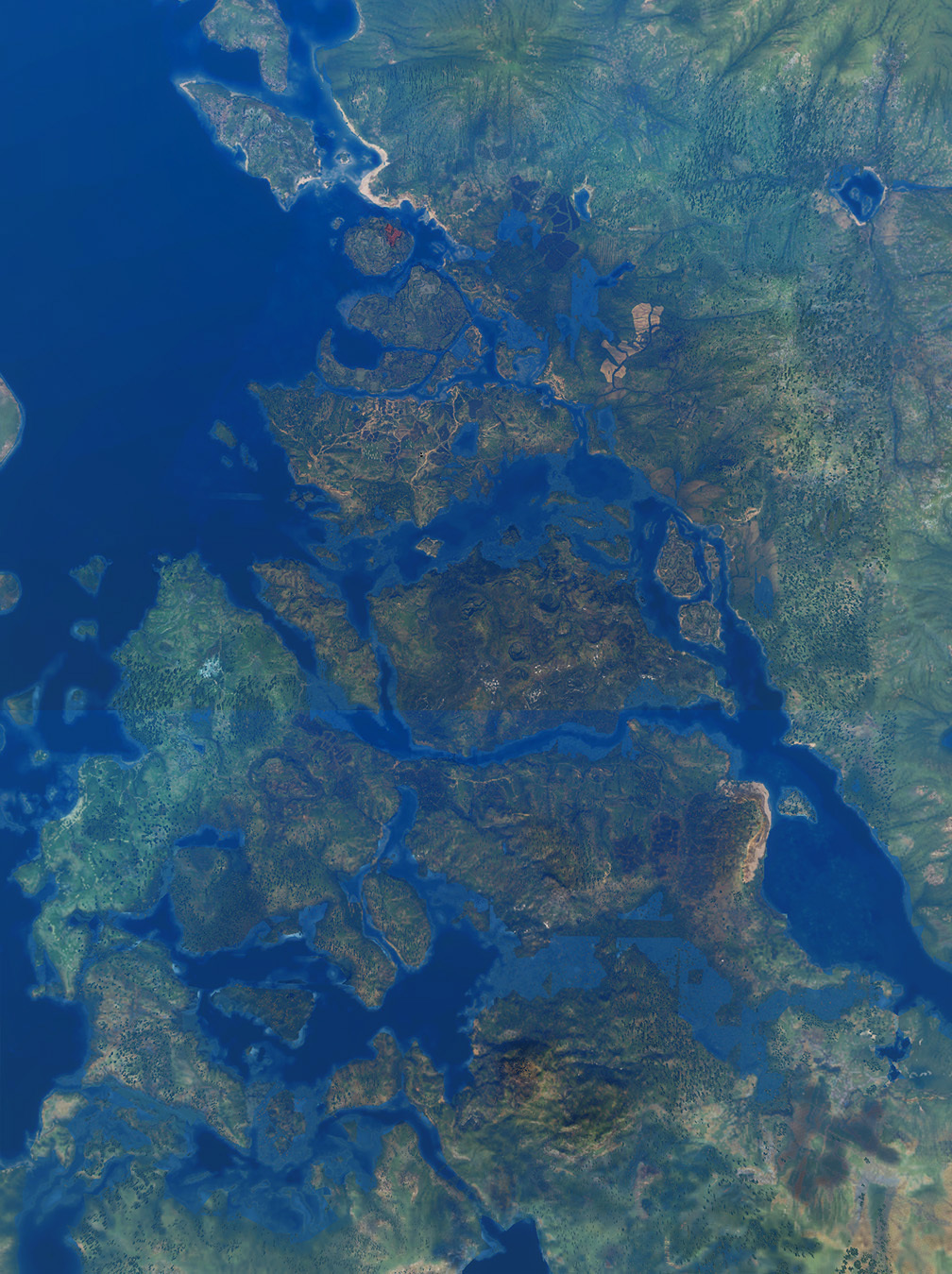
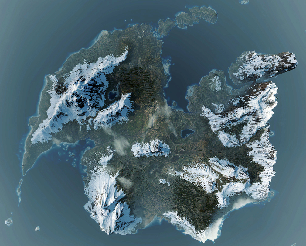
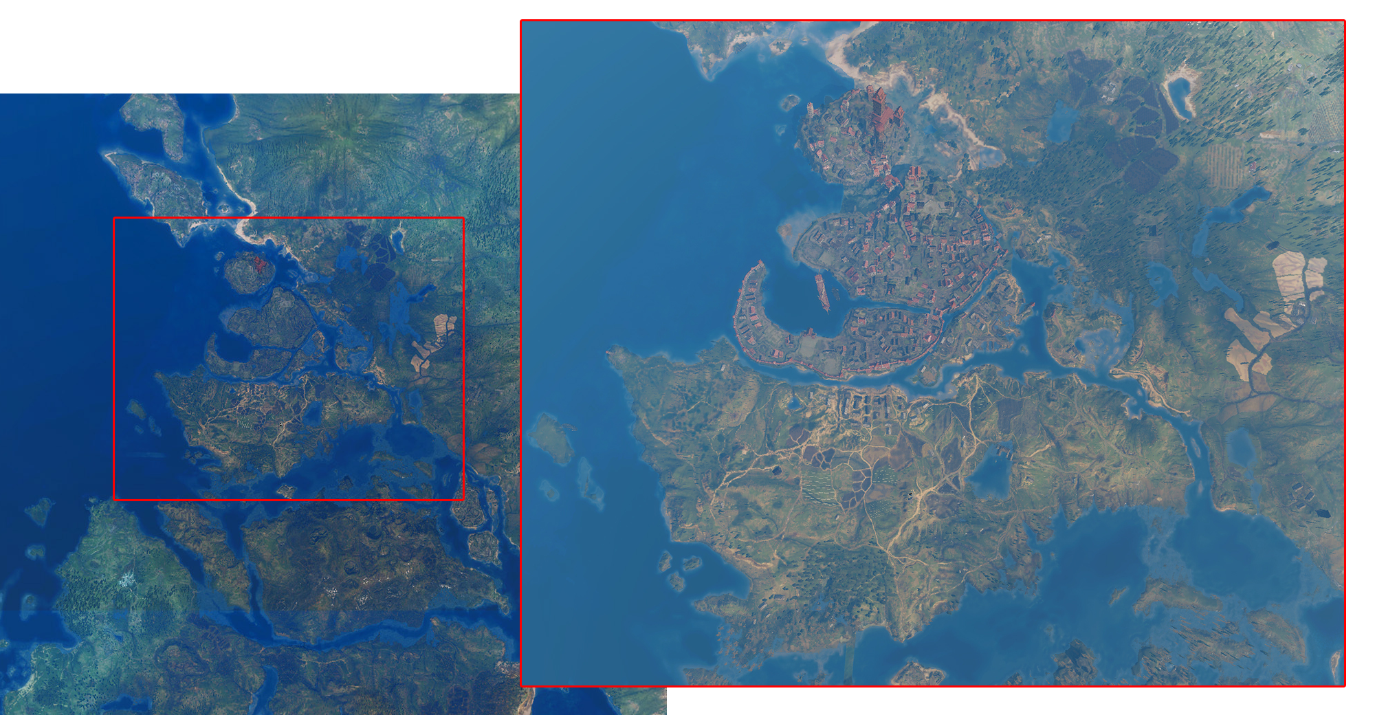
No surprise the RPG’s ridiculously massive world is so enjoyable to explore, when it’s so geographically accurate. These beautiful aerial shots, taken by NeoGAF user EatChildren, prove that perfectly.
The topography and the distribution of settlements is just so well-done. Here’s White Orchard above, the main Skellige island (the tiny ones are not pictured here) and Velen/Novigrad from various distances.
Comments
5 responses to “The Witcher 3 Aerial Shots Are Like Satellite Photos”
I’m really enjoying this game. I only play it in 20 min stints but it’s great.
… you should finish it around 2054…
(not that this is a bad thing)
Don’t tell anyone but… I don’t know if I’m going to finish it. It’s too huge! Every 3rd person has a quest!
I’m just enjoying cruising around, doing contracts and trying to master the combat system. It’s so cool!
At least you won’t face video game addiction any more. Please, though, do not reply – it only confirms your addiction.
Noooo, replying would confirm my Internet addiction… OH GODDAMNIT!!!