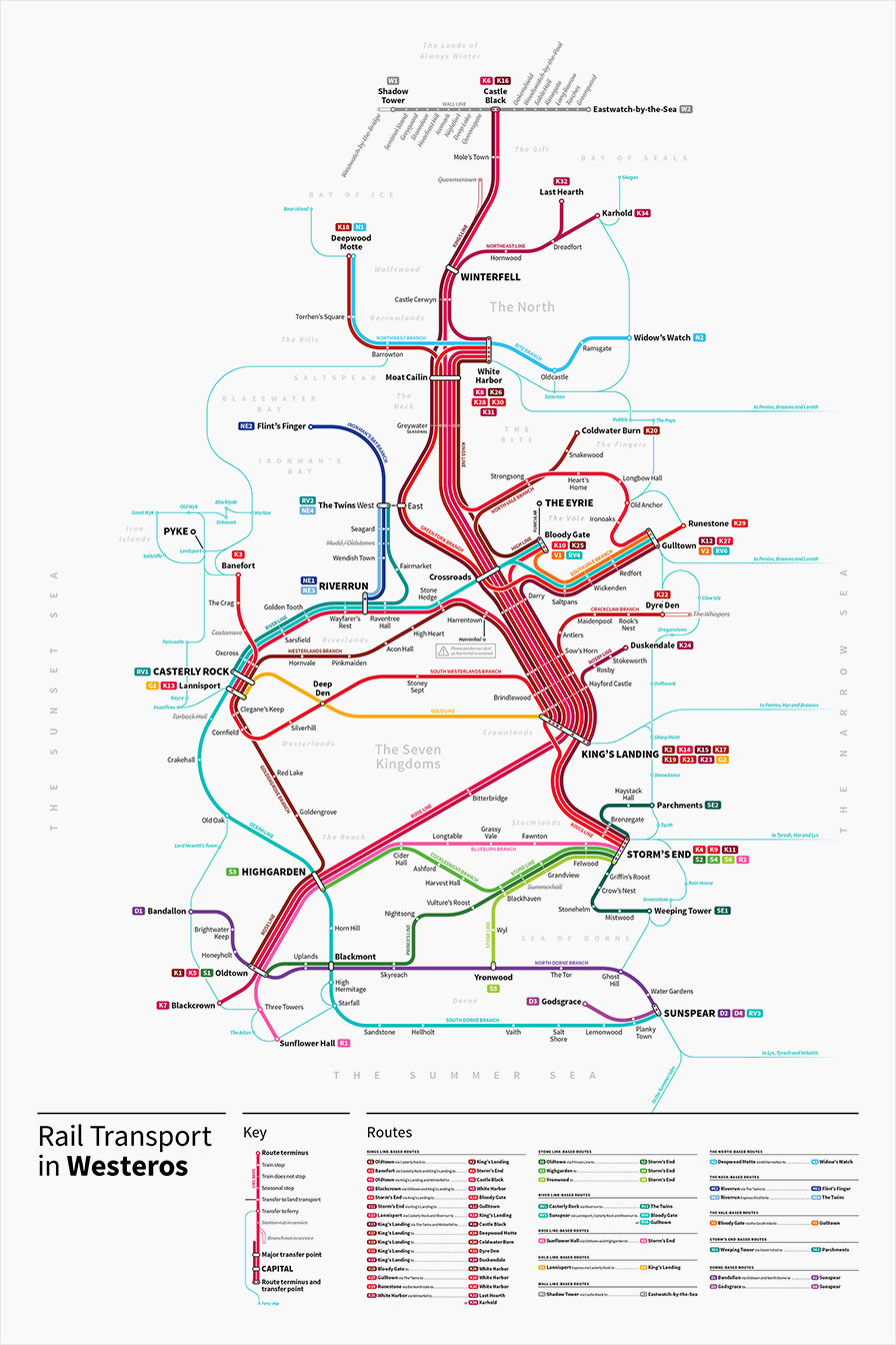
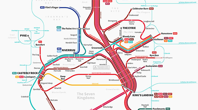
Michael Tyznik, a graphic designer, has built something that could have saved some folks – Arya and The Hound especially – a lot of time and bother. It’s a subway map for the Seven Kingdoms of Westeros.
I love that not only does it look great, but the lines and stations serve a kind of meta narrative purpose, with some stations like Harenhall closed for maintenance and all lines terminating at The Wall.
If you like it, he’s selling prints which range from $US30 to $US80.

[via Fast Co.]

Comments
One response to “Game Of Thrones Subway Map Is A Handy Guide To Westeros Travel”
I wish the image was large enough to read the routes.